According to a 2013 Pew Research Center study, over 60% of adults now own a smartphone. While parks are a great place to put your phone down and take a deep breath, there are also opportunities to use apps to get a deeper understanding of our community. Below are some of our favorite apps for exploring and learning, having fun, and even contributing data so our community can improve.
Explore and Learn:
GR Walks
Take a tour of neighborhoods, historical landmarks, and important places to visit in the city. The app first launched with the Heritage Hill North walking tour and a tour of Eastown/East Hills neighborhoods. They hope to add more tours as we finish research and writing. (Android & iPhone)
Field Trip
Your guide to the cool, hidden and unique things in the world around you. Field Trip runs in the background on your phone. When you get close to something interesting, it will notify you. If you have a headset or bluetooth connected, it can even read the info to you.
Field Trip can help you learn about everything from local history to the latest and best places to shop, eat and have fun. You select the local feeds you like and the information pops up on your phone automatically, as you walk next to those places. (Android & iPhone)
FGRP Park Finder
While not an app, our park finder was built to work well on mobile devices. Use this tool to learn more about a park you’re standing in, or to search for new parks you might like to visit and explore.
My City Bikes
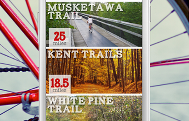
Just released a couple weeks ago in Grand Rapids, My City Bikes is the public health campaign for beginner cyclists benefitting communities around the world by providing simple mobile resources that inspire and facilitate cycling. My City Bikes along with its network of beginner-friendly bike shops and local municipal governments create beginner biking resources to empower individuals to improve their health by simply pedaling a bike. (Android & iphone)
Oh, Ranger ParkFinder
While only for National and State parks, Oh, Ranger ParkFinder is a cool tool for exploring the outdoors. Want to go hiking, bird watching and boating? Oh, Ranger! ParkFinder makes it easy to find great places for a scenic drives, to discover historic sites, go camping and so much more. You can also quickly toggle back and forth to find locations that have any of your desired activities or all of them. Need directions, important phone numbers or related websites? Oh, Ranger! ParkFinder has that too.
Fun and Unique:
SpecTrek
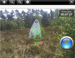
This game populates your surroundings with ghosts to hunt down—a fun way to explore a local park. The basic gameplay is simple: hold your phone flat to view the map. Use the map to locate ghosts and navigate the area to approach them. Hold up your phone to open the camera view. The camera view allows you to scan and catch ghosts. (Android)
GeoCache:
While it's been around for a while, geocaching has never been easier thanks to smartphones. There are over 400 caches around Grand Rapids, mostly in parks. Use your phone and some clues to find a cache and then share your experience.
Contribute to Community Data:
GR Tree Map
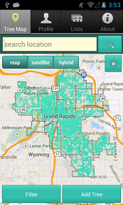
The Grand Rapids Tree Map is a easy and sleek way to map trees around the City. By placing a tree in the tree map, we all get a better idea of how awesome and important our urban forest is by learning about the value of trees. It’s also a great way to help your 6th grader “cheat” on their leaf collection. (Android & iPhone)
GR City 311
Report potholes, graffiti, park maintenance problems, dead trees and a wide range of other issues from anywhere in the City’s service area. It’s easy to track progress and receive notice when the reported matter is resolved. It also helps build a data set at the city that could be used to better understand needed services in the future. (Android & iPhone)
Expect to see even more apps soon thanks to the City's open data catalog. The Grand Rapids Open Data catalog is a collaborative project between the City of Grand Rapids and Friendly Code, a Code for America Brigade.
The Rapidian, a program of the 501(c)3 nonprofit Community Media Center, relies on the community’s support to help cover the cost of training reporters and publishing content.
We need your help.
If each of our readers and content creators who values this community platform help support its creation and maintenance, The Rapidian can continue to educate and facilitate a conversation around issues for years to come.
Please support The Rapidian and make a contribution today.


